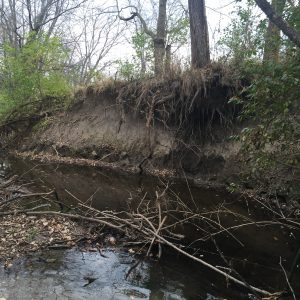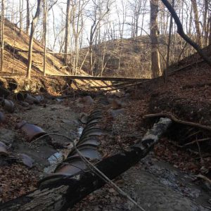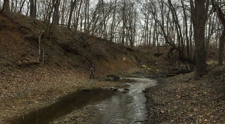
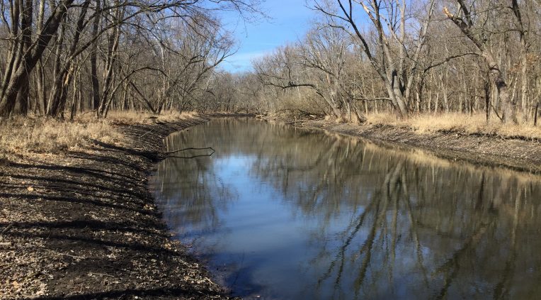
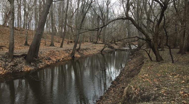
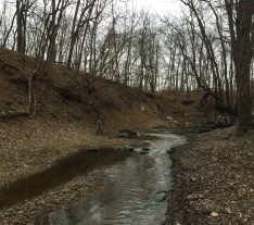
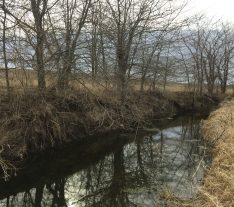
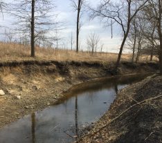
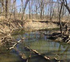

Staff from Northwater directly assessed over 40 miles of streams in the 160,000-acre Lake Springfield watershed. The project was needed due to limited knowledge on the extent and severity of bank erosion, a lack of where project opportunities might exist, and a need to understand if previous estimates accurately portrayed sediment and nutrient loading.
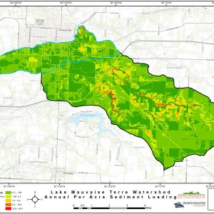
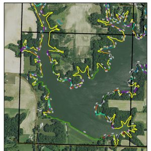
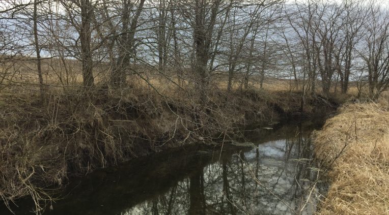
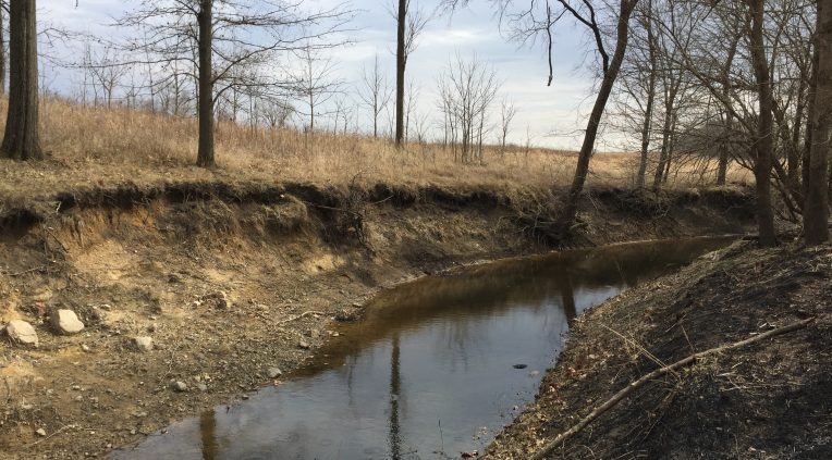
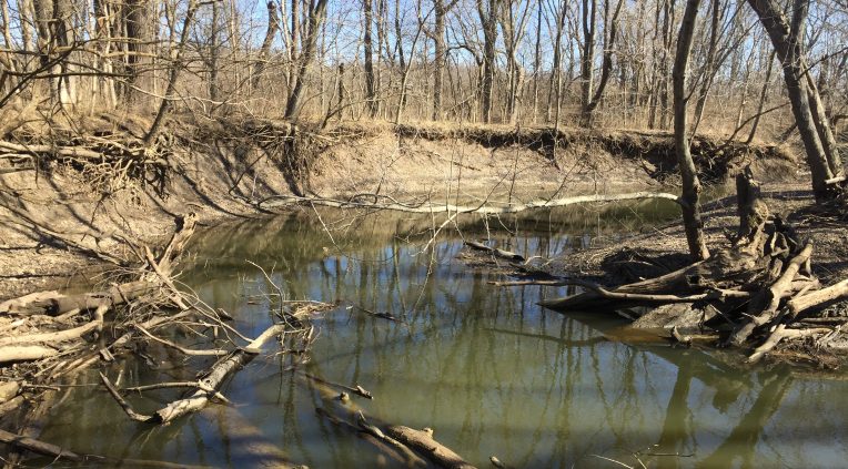
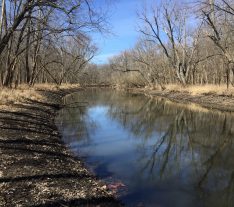
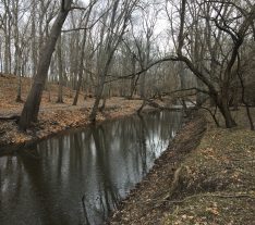
Using GPS technology, Northwater collected reach-level data representing eroding bank height, lateral recession rates, pollution sources, project opportunities, buffer quality, and other unique stream characteristics. Field data was transferred to GIS, used to quantify sediment and nutrient loading and produce a detailed map atlas representing erosion severity, stream buffers, unique features, and practice recommendations.
New estimates suggested that streambank erosion is responsible for approximately 3.7% of the total sediment load to Lake Springfield, slightly lower than previously thought.
We are happy to answer any questions you might have!