Synopsis
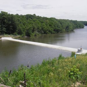
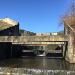
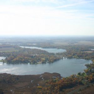
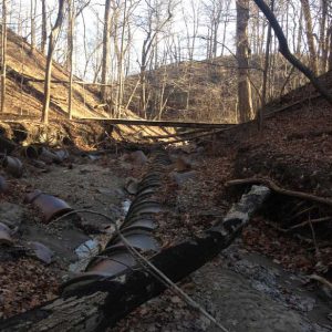
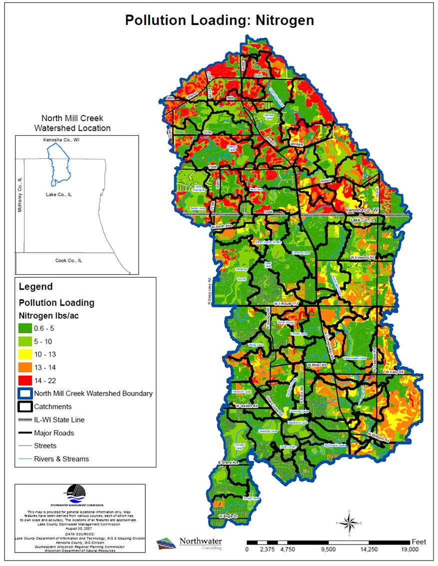
The North Mill Creek/Dutch Gap watershed is located in northern Lake County, Illinois and Southern Kenosha County, Wisconsin. Streams and natural lakes in the watershed are under pressure from urban development and nutrient runoff. Northwater helped to complete an action-specific watershed-based plan with hundreds of feasible projects, modeled to maximize water quality benefits. Since plan completion, a number of these projects have been implemented.
-
Client(s):Lake County Stormwater Management Commission
-
Completion Date:2011
-
Services:
-
Market/Sector:Agriculture, Government
-
Location:Wisconsin and Illinois