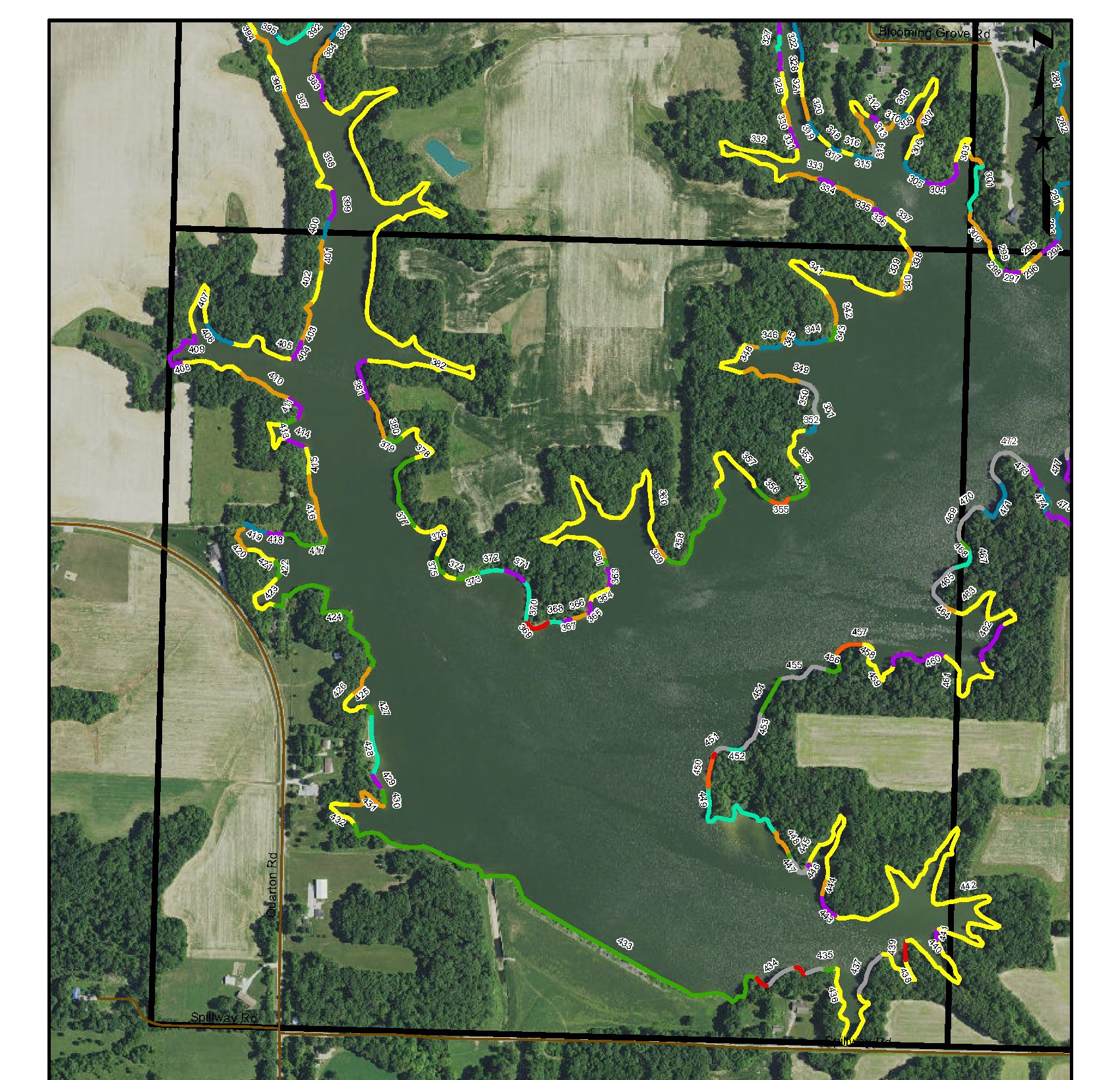
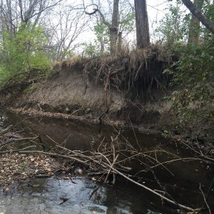
Northwater completed a detailed lake shoreline assessment, which included establishing a baseline inventory of shoreline erosion for the entire Otter Lake water supply reservoir (30 miles). Northwater established a ranking system designed to quantify erosion and nutrient loading and to help prioritize reaches for stabilization. The assessment was accomplished through direct measurements, advanced geomatics equipment and GIS software. Soil cores were obtained to determine the concentration of nutrients in eroded sediment.
A high-quality map atlas was produced to display results and help guide the Otter Lake Water Commission in making cost-effective and informed decisions related to in-lake improvements. Northwater provides regular updates to shoreline maps, loading estimates, and priorities as lake banks are armored.
Read about implementation and other complementary efforts at Otter Lake….
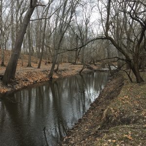
Otter Lake Source Water Protection
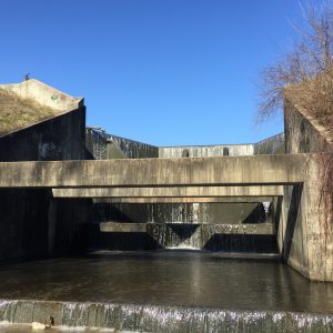
Otter Lake Water Source Protection – Program Implementation & Construction
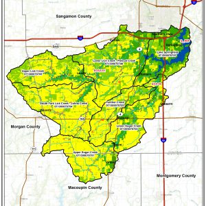
Otter Lake In-lake Sediment Control Basin Dredging Evaluation