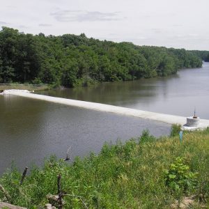
The Upper Macoupin Creek watershed is over 140,000 acres and has been identified in the Illinois Nutrient Loss Reduction Strategy as one of the highest phosphorus exporting basins in the state. The American Farmland Trust (AFT) has recognized this and initiated a long-term program to reduce phosphorus and sediment loading by leveraging federal farm bill programs. These programs include the Mississippi River Basin Initiative (MRBI) and the Regional Conservation Partnership Program (RCPP).
Although the AFT has been successful in securing federal funding, it has been challenging for them to understand where specifically in the watershed they should target funds and what water quality benefits practice implementation will achieve.
The AFT reviewed a series of available water quality models and tools to achieve their objectives and determined that Northwaters’ Spatial Watershed Assessment and Management Model (SWAMM) was the most cost effective and usable to meet their needs.
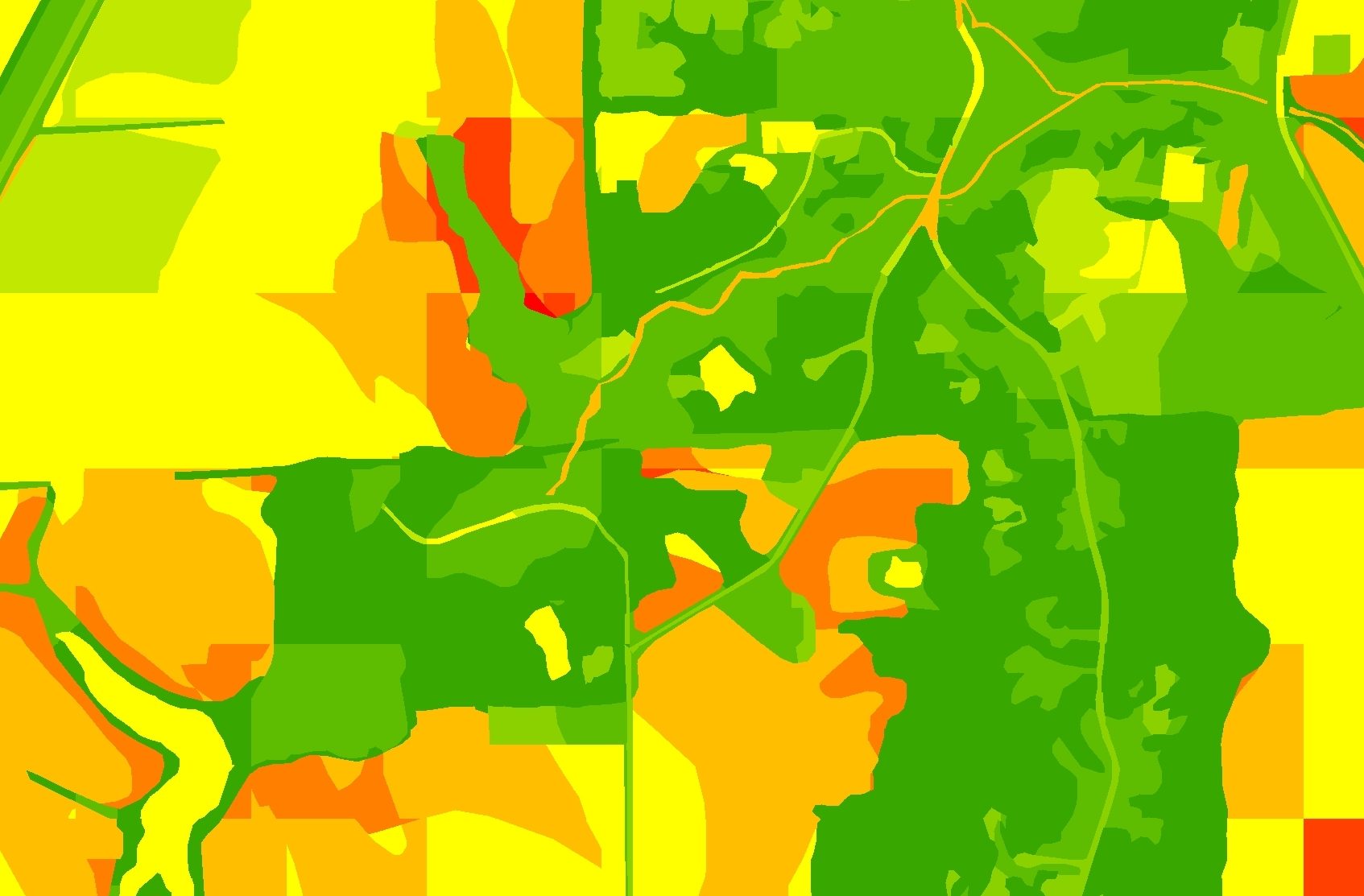
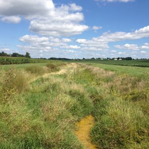
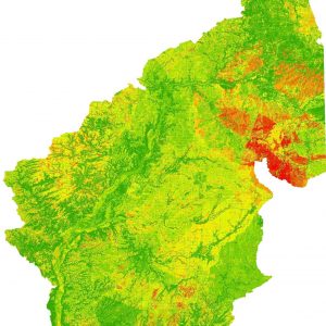
To support model development, Northwater conducted a watershed survey to collect data on landuse characteristics and existing treatment practices, and evaluate sources of phosphorus loading such as eroding streambanks. Watershed data was incorporated into a custom generated landuse GIS layer and used to construct a spatially explicit loading model that represents actual conditions. It accounts for existing watershed treatment practices, incorporates local precipitation and field specific tillage information and utilizes high resolution LiDAR data.
The model is being used to target agricultural Best Management Practices (BMP) and support farm bill program reporting requirements. This also includes the ability to identify where BMPs should be implemented to achieve the greatest benefits and best value. Using the model, staff from AFT can calculate pollution load reduction estimates from existing or proposed BMPs and is designed to help achieve success through the current RCPP and MRBI project.