Synopsis
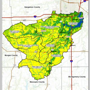
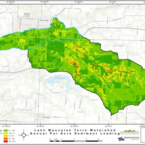
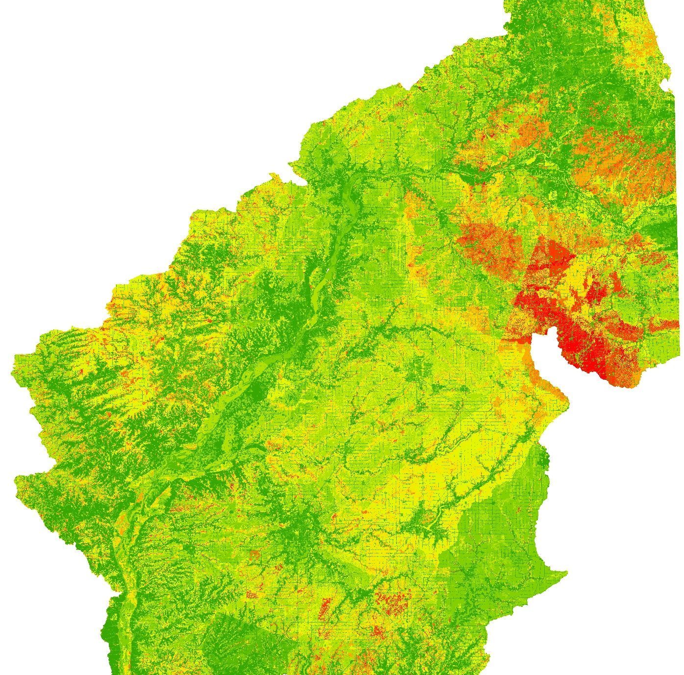
The Illinois Department of Natural Resources administers numerous state-wide conservation cost-share programs. These programs are designed to improve water quality by taking marginal or high priority agricultural land out of production. No formal tool or mechanism allowed agency staff to target specific land parcels or quantify the associated water quality benefits. Northwater developed a custom integrated watershed-based model to support this effort and achieve water quality targets in the Illinois and Kaskaskia River watersheds (80,902 square miles).
-
Client(s):Illinois Department of Natural Resources
-
Completion Date:2011
-
Services:
-
Market/Sector:Agriculture, Government
-
Location:Illinois