- Phone: 1.844.466.7849
- Email: info@northwaterco.com
Haiti Groundwater Potential Map – Download
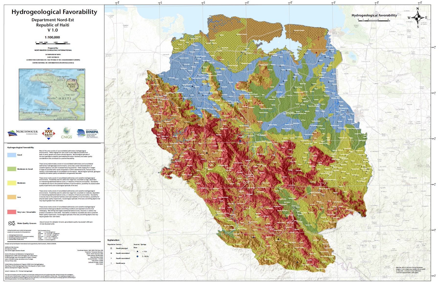
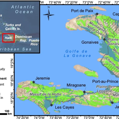
Northwater and CNIGS completed groundwater potential mapping for the Northeast Department of Haiti for Haiti Outreach and DINEPA (Haiti Direction of Water & Sanitation). The purpose of the mapping is to inform well drilling efforts, and guide appropriate interventions for securing water access throughout the department. The mapping was based on research, geological field mapping, and the application of geostatistical modeling.
Similar mapping is in development for the Nord and Centre departments of Haiti.
You can download the map here
Recent Posts
-
- October 23, 2024
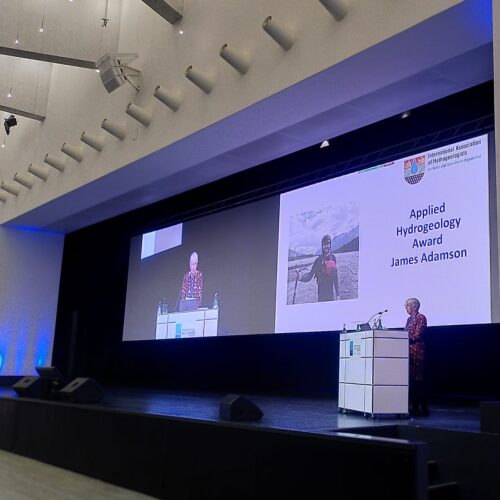
Northwater Principal James Adamson Receives Prestigious Applied Hydrogeology Award
-
- September 12, 2023
$10M USDA Grant Awarded to City of Decatur for Water Quality Improvements
-
- September 12, 2022
Hydrogeology Journal – Haiti Topical Collection Published!
-
- July 24, 2019
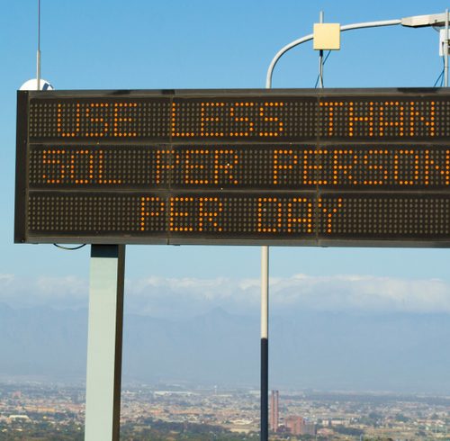
Insights from Cape Town – Hydrogeology Journal
-
- March 1, 2019
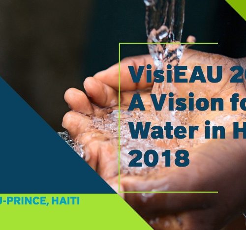
Northwater Presents at the VisiEAU Summit
Have Questions for Us?
We are happy to answer any questions you might have!