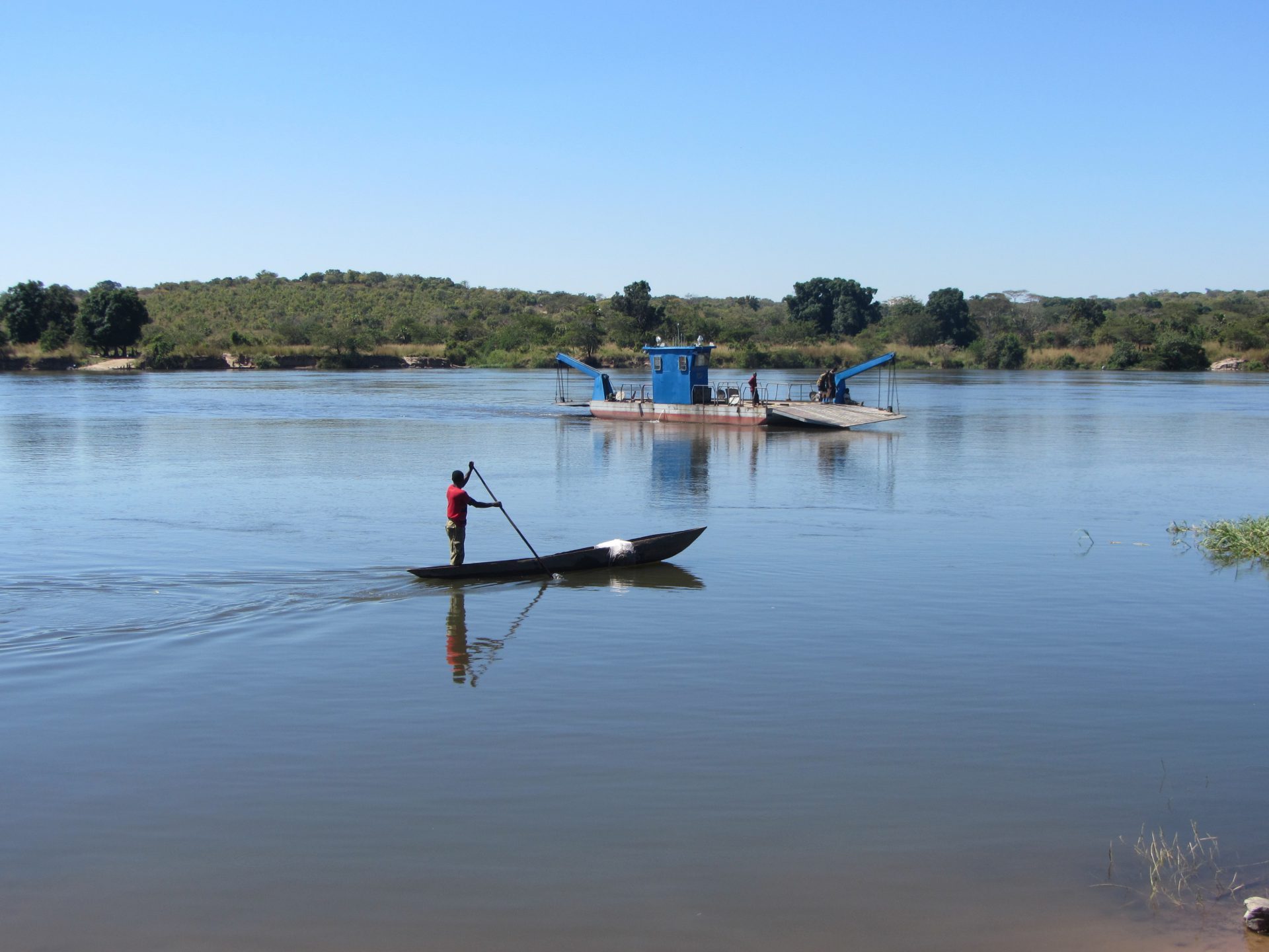
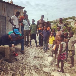
Hydrogeological assessment and mapping for a 4,000 km2 area to support a rural water supply program and a remote UN refugee camp in the Democratic Republic of the Congo. The study area included a very remote and hostile area of the Congo controlled by Mai Mai Kata Katanga rebel groups that have destroyed numerous villages and kidnapped children to serve as soldiers.
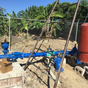
Assignment included a hydrogeological mapping mission and electromagnetic and electrical resistivity geophysical investigation to map regional aquifers for the territory and characterize local groundwater conditions to support a water infrastructure program that included 100 wells for remote villages and a UN refugee camps.
The capacity building program included development and implementation of a program to train local teams on well drilling techniques, geological logging and well siting principles. A detailed resistivity geophysical data collection and analysis program was designed and taught to Congolese staff to improve drilling success and support informed decision making.
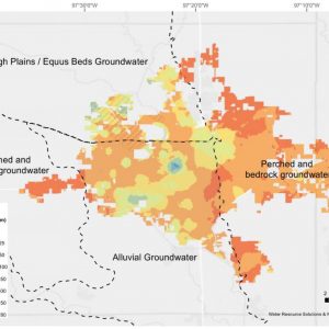
Activities Performed: Hydrogeological mapping of igneous crystalline, sedimentary and quaternary aquifer boundaries. Remote sensing and terrain assessment using multi-spectral satellite imagery, hydrogeological reconnaissance, fracture trace and lineation assessment, electromagnetic geophysical surveys in 13 focus areas, development and training program and design and teaching.